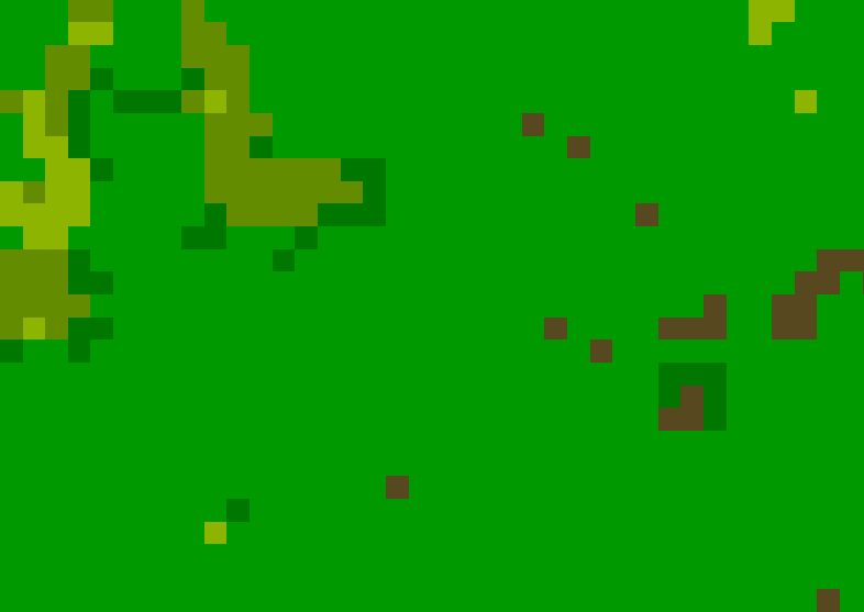
Raster data model
The raster data model is best for modeling properties which vary continuously across the landscape, and can be measured at any location
Examples of raster features from field surveys or remote sensing:
- Soil type or vegetation class


- Elevation

- Plant density

- Ice depth

- Vegetation productivity


- Suitability or risk

A raster dataset is composed of a uniform grid of identically-sized cells (usually square), with each cell (or pixel) holding a single numeric value
- Raster attributes
- Raster attributes are about the variable at that location, stored as a cell value. Each grid cell can only store a single value, so if multiple attributes need to be stored (e.g. elevation and slope), multiple rasters are needed, which are sometimes bound together in a raster stack
Rasters values can be:
- Quantities - continuous variables such as rainfall or density. The DEM we’ll use below is an example of a continuous raster
- Thematic - categories such as vegetation class, presence/absence of a species, represented by a numerical code
The LandCover dataset you downloaded is an example of a thematic raster - each pixel contains a code indicating the landcover class at that location
If you’re using the gibbon datasets, these are the land cover classes that occur in and around Che Tao Nature Reserve:1
| Code | Landcover class |
|---|---|
| 20 | Shrubs |
| 30 | Herbaceous vegetation |
| 40 | Cropland |
| 50 | Urban |
| 80 | Permanent water bodies |
| 90 | Herbaceous wetland |
| 111 | Closed forest, evergreen needle leaf |
| 112 | Closed forest, evergreen broad leaf |
| 114 | Closed forest, deciduous broad leaf |
| 116 | Closed forest, unknown |
| 122 | Open forest, evergreen broad leaf |
| 126 | Open forest, unknown |

Quiz: Raster data model
Here’s another quick quiz! ![]()
-
Download the complete list of Copernicus land cover classes ↩
Previous submodule:
Vector
Next submodule:
Represent your data