Combine GPS and field data
A short GIS refresher course for wildlife conservation professionals and students, built by Dr Lucy Tallents for VerdantLearn

A short GIS refresher course for wildlife conservation professionals and students, built by Dr Lucy Tallents for VerdantLearn
Welcome to this short refresher course on combining GPS locations and field observations from wildlife conservation surveys!
This course will run 17-21 May 2021
![]() You can navigate through the course using the menu bar at the top of this page, starting with ‘Pre-course’
You can navigate through the course using the menu bar at the top of this page, starting with ‘Pre-course’
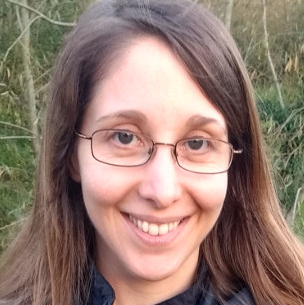
This course is authored and taught by Dr Lucy Tallents, director of VerdantLearn. For more information about Lucy, see her LinkedIn profile or blog
