Communicate scale and orientation on your map
To help your readers understand the real-world size of features on your map, and estimate distances between them, we’ll add a scale bar ![]() to show a reference distance. We’ll also add a north arrow
to show a reference distance. We’ll also add a north arrow ![]() to indicate the orientation of your map with respect to the magnetic poles
to indicate the orientation of your map with respect to the magnetic poles
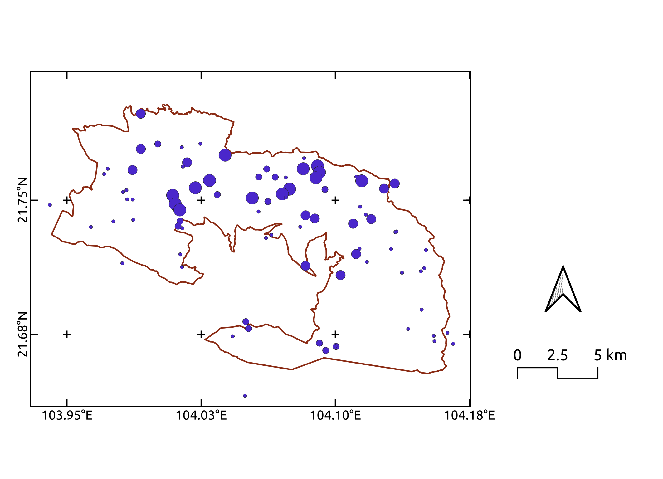
By the end of this exercise, your map will look something like this:
Add a scale bar
- Click on the
Add Scale Bartoolon the Project toolbar, and click on the map where you want your scale bar to be. Click
OK- Adjust the way the scale bar is displayed by editing settings on its
Item Propertiestab - you can adjust the size or number of segments, the style, and many other details
Add a north arrow
- Click on the
Add North Arrowtoolon the Project toolbar, and click on the map where you want your north arrow to be. Click
OK- Accept the default style, or select another from the
arrowsfolder underItem Properties. We recommend a very simply style, so as not to distract from the message of your map with unnecessary detail
Previous submodule:
Map location
Next submodule:
Map legend