Create a map in QGIS
Over the next few pages, we’re going to gradually build up a map in QGIS, including all the components necessary for readers to understand your message, and relate the features on your map back to the real world. We’ll start by:
- Creating a blank print layout in QGIS
- Adjusting the page size to generate a map suitable for inserting into a pdf report - 180mm wide by 130mm tall, or you can choose a different size if you wish
- Adding a map component to display your spatial layers
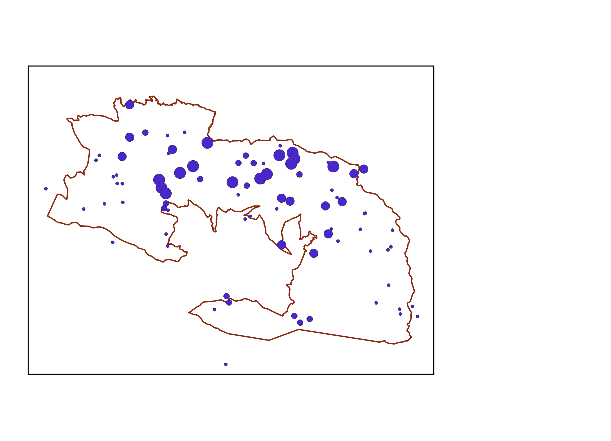
By the end of this exercise, your map will look something like this:

- Reveal the Project Toolbar by right-clicking on the grey toolbar area of QGIS and selecting
Project Toolbar- Click on the
New Print Layouttoolon the Project toolbar to create a blank canvas for your new map. This will ask you to name your canvas, and then open a QGIS Print window. Alternatively you can use the keyboard shortcut for printing,
Ctrl+PorCmd+P- To specify the page size, right-click on the blank canvas >
Page Properties. This will open up theItem Propertiestab on the right-hand side of the print window- Under
Size, select Custom, and manually enter aWidthof 180 andHeightof 130
Add components
To build up the components of our map, we’ll use the print layout Toolbox toolbar, which appears vertically along the left-hand edge of your print layout window:

Let’s add a map to our blank canvas:
- Click on the
Add Maptoolon the Toolbox toolbar and then drag to highlight an area of your blank map canvas. We suggest dragging across two-thirds of the width and three-quarters of the height
- Click on your map to reveal the
Item Propertiessidebar if it’s not already visible- Scroll down and tick the checkbox beside
Frameto add a border around your map
![]() At this point, the precise position and size of your map on the canvas doesn’t matter. You can easily reposition the map at any point in the design process by dragging and dropping it (or any other map component) using the
At this point, the precise position and size of your map on the canvas doesn’t matter. You can easily reposition the map at any point in the design process by dragging and dropping it (or any other map component) using the Select/Move item tool  on the Project toolbar. You can also resize the map by grabbing the corners or the centre of the edges and dragging. Alternatively, you can specify the map’s coverage manually under
 Item Properties > Extents if you need precise control of the geographic area shown
![]() If you make changes to your project such as hiding/revealing layers in your main QGIS window, or changing their symbology, the map in your print layout may not update automatically. Trigger layers to update by clicking the
If you make changes to your project such as hiding/revealing layers in your main QGIS window, or changing their symbology, the map in your print layout may not update automatically. Trigger layers to update by clicking the Update Map Preview tool  in the map’s
 Item Properties tab