Representing the world around us

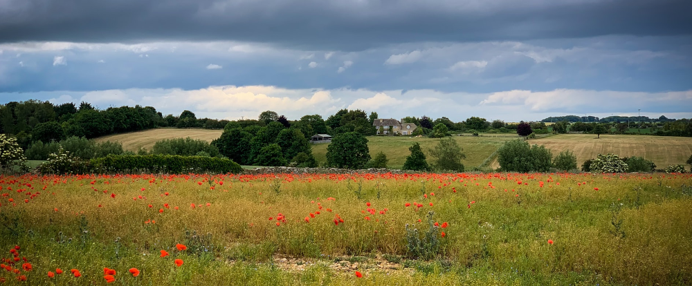
Take a look out of your window, or find a picture of one of your favourite field sites. Notice what’s out there:
- Landscape features
 and weather
- Water
 , bare ground
  or vegetation
- Individual plants
 , animals
  or fungi
- Artificial features such as buildings
 or roads
- People
 and human activities
If you had to draw that scene, what would you include? How would you represent your chosen features?
The world around us is complex, and in order to represent it in a GIS, we have to create a model of it, as you do when sketching something. One tool for representing our surroundings is the geospatial data model
- Geospatial data model
- A geospatial data model is a simplified digital model of real-world features, composed of spatial features (location/shape/size) plus attributes (non-spatial information)
There are two main geospatial data models:
- Vector - for discrete features
- Raster - for continuous features
We’ll look at each of these in turn on the following pages. We won’t cover alternative geospatial data models such as TINs (Triangulated Irregular Networks) in this course
Previous submodule:
Module 2 introduction
Next submodule:
Vector